| Weather Data | |||
|---|---|---|---|
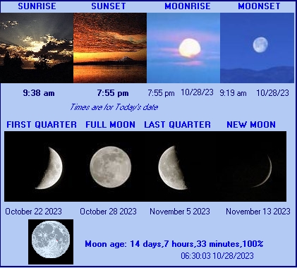
| LAST READING AT TIME: 7:00 AM DATE: October 28 2023, time of next update: 7:30 am | |||
| Current Weather | Night time/Dry | Current Temperature | 58.7°F (14.8°C), Apparent temp 59.8°F |
| Maximum Temperature (since midnight) | 58.8°F at: 1:09 AM | Minimum Temperature (since midnight) | 58.0°F at: 12:00 AM |
| Average windspeed (ten minute) | 0.8 mph | Wind Direction (ten minute) | ESE (112°) |
| Windchill Temperature | 58.7°F | Maximum Gust (last hour) | 3.0 mph at: 6:35 AM |
| Maximum Gust (since midnight) | 3.5 mph at: 12:05 AM | Maximum 1 minute average (since midnight) | 2.6 mph at: 1:00 AM |
| Rainfall (last hour) | 0.00 in. (0.0 mm) | Rainfall (since midnight) | 0.00 in. (0.0 mm) --- |
| Rainfall This month | 1.02 in. (25.9 mm) | Rainfall To date this year | 51.67 in. (1312.4 mm) |
| Maximum rain per minute (last hour) | 0.00 in/min | Maximum rain per hour (last 6 hours) | 0.00 in/hour |
| Yesterdays rainfall | 0.00 in | DewPoint | 55.5°F (Wet Bulb :56.9°F ) |
| Humidity | 89 %, Humidex 63.8°F | Barometer corrected to msl | 30.300 in. (1026.1 hPa) |
| Pressure change | +0.01 in. (last hour) | Trend (last hour) | STEADY |
| Pressure change (last 12 hours) | +0.01 in | Pressure change (last 6 hours) | +0.01 in |